The Farm in Numbers
You’d be amazed how much information modern farmers have to provide for the various authorities! Every last detail is mapped by aerial photography and satellite. But these office folk don’t always get it right – our septic tank which we dug in 1983 is shown as a ‘historic monument’! Should we charge people to enter?!
Here is a summary of the farm statistics
Currently the farm has 30% of the land area in woodland and ponds and the remainder is farmed:
- 47 fields
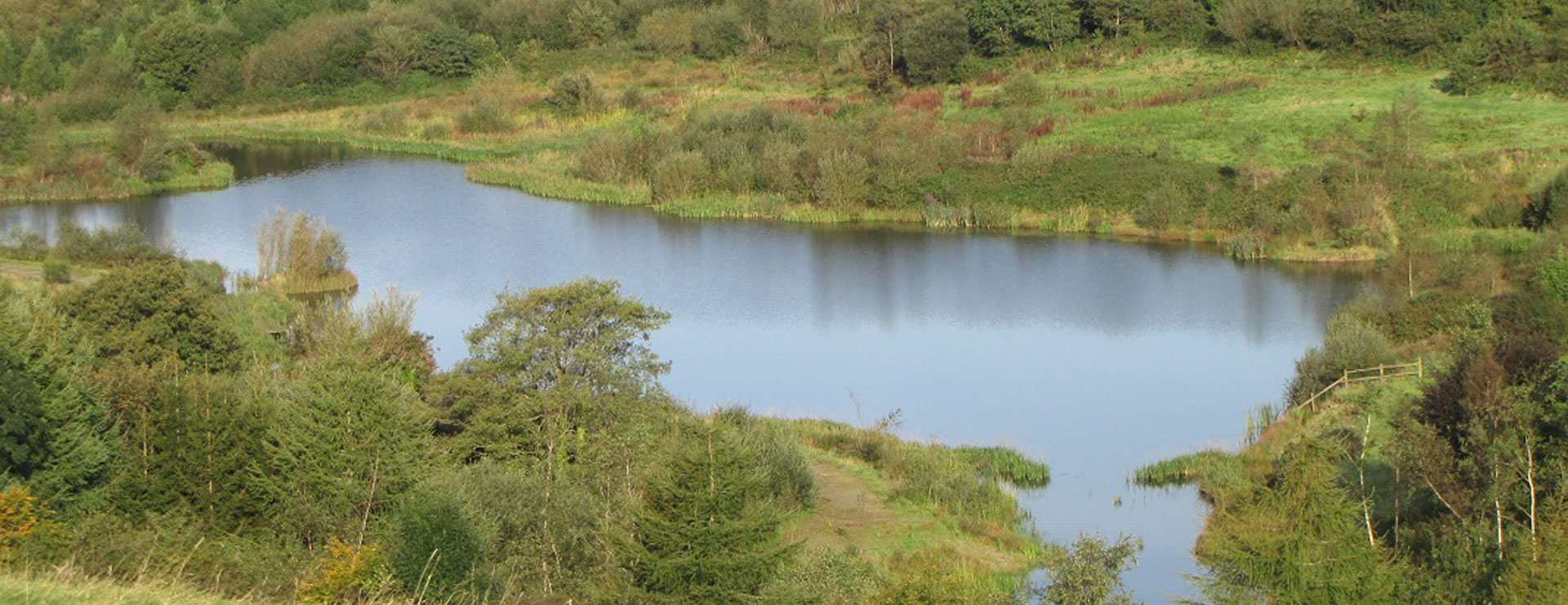
- 35.0 ha broadleaved woodlands
- 39.6 ha improved grassland
- 14.4 ha semi-improved grassland
- 23.8 ha unimproved grassland
- 2.5 ha fenced Brown Hairstreak Butterfly reserve
- 2.4 km public road frontage
- 0.32 km public footpath
- 14.42 km old hedges
- 4.65 km hedges planted by us
- 14.6 km sheep fencing
- 125 gates
- 6.68 km farm tracks
- 1.0 km concreted farm roads
- 2.2 km known buried water pipes
- 3.12 km streams
- 2.0 km rivers
- 26 neighbours sharing boundaries
- 3 Quarries
- 6 Wells
- 7 Springs
- 30 ponds
- 41 cross-country horse jumps
- 41 buildings, blocks of pens etc.
- 24 buildings have been demolished by us.
- 170 falcon pens
- 240 breeding falcons
- 5 Red Squirrel pens
- 3 Beaver enclosures
- 48 Wiltshire Horn ewes
- 30 Wiltshire Horn store lambs
- 120 tack sheep (winter)
- 60 Tack store cattle (summer)
| Hectares | % | |
| Woods and ponds | 34.96 | 29.9% |
| Silage | 54.036 | 46.29% |
| Grazing | 23.83 | 20.42% |
| Yards | 3.899 | 3.34% |
| Total | 116.725 |